

What's in a Name? Boston Neck Road
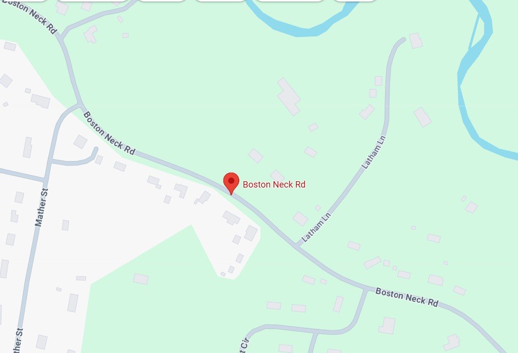
A partial map of Boston Neck Road: Credit Google Maps
Ever since I was a little boy, I have always enjoyed maps and globes. I never had the chance to travel much as a child, but my parents did have an atlas that I enjoyed looking and eventually reading through. My interest in geography peaked when I won my middle school’s contest for a place to compete in the state geography bee. On the day of the competition, my family and I traveled to Boston. While I did not advance to the national competition, I did have a good deal of fun and afterwards my family and I walked the Freedom Trail.
Little did I know then that I would come to live in a place that is far away from Boston, but has a connection to the city that is memorialized in the name Boston Neck Road. Now two questions come to mind: What is a Boston Neck and what does anything Boston related have to do with Suffield?
To answer the question of what the Boston Neck was, we need to go back to the colonial era. During that time, Boston looked VERY different from today evidenced by the map below.
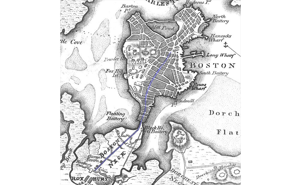
A pre 1830 map of Boston: Credit Historic New England
The Boston Neck was a narrow stretch of land that connected Roxbury (then an independent municipality) to the town of Boston. The wooden causeway that ran between the two towns was where Washington Street is today. Beginning in the 1830’s, the residents of Boston began land reclamation projects surrounding the Shawmut peninsula to create more space for a growing population. The below map shows how the area around the neck was filled in.

Now what does any of this have to do with Suffield? Well if you wanted to get to the Boston Neck from south of Suffield during the colonial era and the early years of the republic, you would need to traverse Boston Neck Road. This was because the road was a part of the Upper Boston Post Road.
The Boston Post Road was actually a series of roads (Upper, Middle and Lower) that ran from Boston to New York City. It was named for the post riders that used the road to carry the mail throughout southern New England. This meant that Suffield was part of a critical network where both people and paper shared important news and ideas.

Map Showing the Boston Post Roads: Credit S Jenkins
Boston Neck Road continued to be part of the main road to Boston up until the early 20th century. Eventually the road was bypassed in the early 1930s when US Route 5A (present day East Street/State Route 159) was created and was upgraded to become a highway.

The road sign for the now defunct US Route 5A: Credit Wikimedia Commons
While Boston Neck Road is no longer a major thoroughfare, it serves as a reminder of how Suffield was once a key stop on the way from New York to Boston. Next time, we will discuss one of the most important trips through Suffield 250 years ago.
Works Cited
Alcorn, Robert Hayden. The biography of a town: Suffield, Connecticut, 1670-1970. Hartford, CT: 300th Anniversary Committee of the Town of Suffield, 1970.
Jaffe, Eric. The King’s Best Highway: The lost history of the Boston Post Road, the route that made America. New York, NY: Scribner, 2014.
Seasholes, Nancy S. Gaining ground: A history of landmaking in Boston. Cambridge, MA: The MIT Press, 2003.